Jaguar
Panthera onca
Jaguars are strong swimmers and use habitats near rivers, lagoons and swamps.
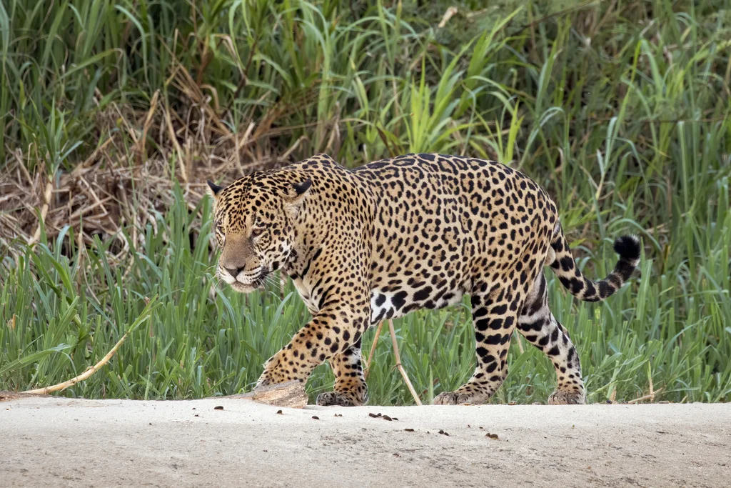
A closer look.
A jaguar is a powerful cat of the Americas, recognised by a coat patterned with dark rosettes. Some individuals have very dark fur, although the markings remain. Dense vegetation provides cover for a hunter that approaches prey on the ground rather than relying on a long chase. Jaguars are comfortable around water and occur in tropical forests, river margins and wetlands. This makes the species a useful introduction to the connections between forest and freshwater habitats. Its scientific classification places it alongside lions and snow leopards in the genus Panthera.
Conservation status
Near Threatened (NT)Close to qualifying for a threatened category.
View assessment source (opens in a new tab)This is the status reported by the cited source. Assessments can change, and regional populations may have a different status. The check date is not the assessment date.
What do these statuses mean?
- Least Concern (LC) — Assessed below the thresholds for Near Threatened or a threatened category.
- Near Threatened (NT) — Close to qualifying for a threatened category.
- Vulnerable (VU) — A high risk of extinction in the wild.
- Endangered (EN) — A very high risk of extinction in the wild.
- Critically Endangered (CR) — An extremely high risk of extinction in the wild.
- Extinct in the Wild (EW) — Survives only in captivity, cultivation or populations outside its former range.
- Extinct (EX) — No reasonable doubt remains that the last individual has died.
- Data Deficient (DD) — Available evidence is insufficient to assess extinction risk.
- Not Evaluated (NE) — Not yet assessed against the IUCN criteria.
Colours are a simplified Nature Explorer guide. The category label and assessment scope carry the meaning. About the IUCN Red List.
Explore its wider world
Scientific sources
Another perspective.
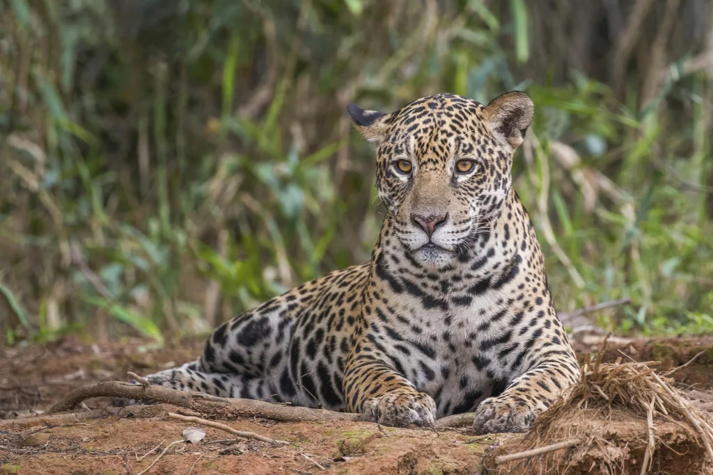
A record of its presence.
Discover where people have documented this species.
Put discovery on the map.
Load the map to request GBIF basemap tiles and public biodiversity records.
Map data represents recorded observations and occurrences, not necessarily the complete natural range of a species. Sensitive or obscured coordinates are excluded from individual markers.