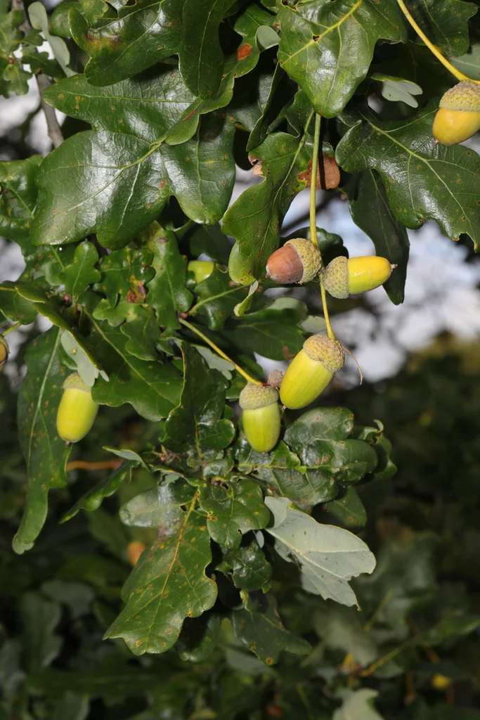
Saguaro
Carnegiea gigantea
A saguaro stem expands along its pleats as it takes up water.
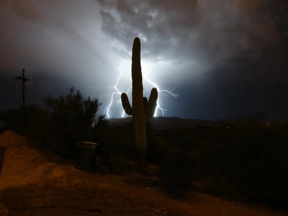
A closer look.
A mature saguaro creates a vertical landmark in the Sonoran Desert, but its early growth is slow. Young plants often begin under the shelter of another plant, where sun and cold are less severe. The cactus stores water in a fleshy stem supported by woody ribs. Its pleated surface can expand after rain and contract as stored water is used. Saguaros are also living habitat: birds excavate nest cavities or build nests among the arms. This desert plant connects an individual survival strategy with shelter used by other species.
Conservation status
Least Concern (LC)Assessed below the thresholds for Near Threatened or a threatened category.
View assessment source (opens in a new tab)This is the status reported by the cited source. Assessments can change, and regional populations may have a different status. The check date is not the assessment date.
What do these statuses mean?
- Least Concern (LC) — Assessed below the thresholds for Near Threatened or a threatened category.
- Near Threatened (NT) — Close to qualifying for a threatened category.
- Vulnerable (VU) — A high risk of extinction in the wild.
- Endangered (EN) — A very high risk of extinction in the wild.
- Critically Endangered (CR) — An extremely high risk of extinction in the wild.
- Extinct in the Wild (EW) — Survives only in captivity, cultivation or populations outside its former range.
- Extinct (EX) — No reasonable doubt remains that the last individual has died.
- Data Deficient (DD) — Available evidence is insufficient to assess extinction risk.
- Not Evaluated (NE) — Not yet assessed against the IUCN criteria.
Colours are a simplified Nature Explorer guide. The category label and assessment scope carry the meaning. About the IUCN Red List.
Explore its wider world
Scientific sources
Another perspective.
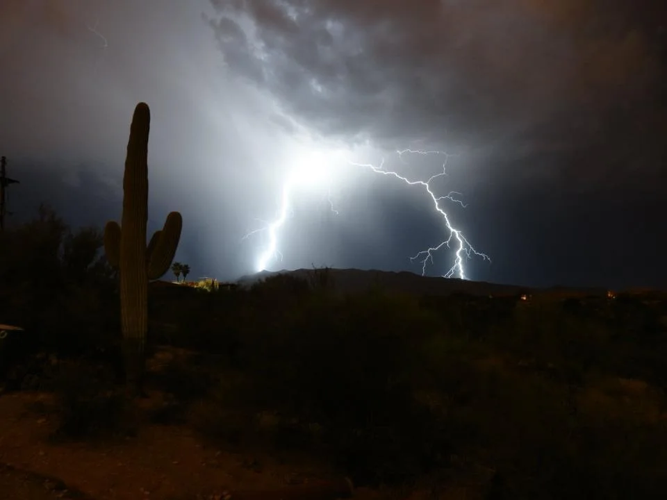
A record of its presence.
Discover where people have documented this species.
Put discovery on the map.
Load the map to request GBIF basemap tiles and public biodiversity records.
Map data represents recorded observations and occurrences, not necessarily the complete natural range of a species. Sensitive or obscured coordinates are excluded from individual markers.