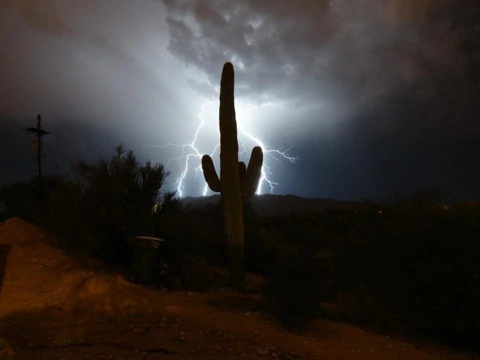
English oak
Quercus robur
The name pedunculate oak refers to the stalks that carry its acorns.
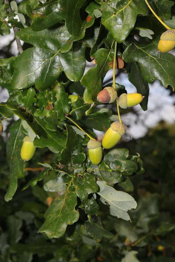
A closer look.
An English oak offers much more than a canopy. Leaves, acorns, bark and ageing wood provide different resources for wildlife, and a mature tree can support a rich community of organisms. Its rounded leaf lobes and stalked acorns are useful features to notice. The species is also called pedunculate oak, a reference to the stalks carrying its fruits. Across seasons, its appearance changes from fresh leaves to autumn colour and bare branches. Following one oak through the year is a simple way to see that a tree is both an organism and a habitat.
Conservation status
Least Concern (LC)Assessed below the thresholds for Near Threatened or a threatened category.
View assessment source (opens in a new tab)This is the status reported by the cited source. Assessments can change, and regional populations may have a different status. The check date is not the assessment date.
What do these statuses mean?
- Least Concern (LC) — Assessed below the thresholds for Near Threatened or a threatened category.
- Near Threatened (NT) — Close to qualifying for a threatened category.
- Vulnerable (VU) — A high risk of extinction in the wild.
- Endangered (EN) — A very high risk of extinction in the wild.
- Critically Endangered (CR) — An extremely high risk of extinction in the wild.
- Extinct in the Wild (EW) — Survives only in captivity, cultivation or populations outside its former range.
- Extinct (EX) — No reasonable doubt remains that the last individual has died.
- Data Deficient (DD) — Available evidence is insufficient to assess extinction risk.
- Not Evaluated (NE) — Not yet assessed against the IUCN criteria.
Colours are a simplified Nature Explorer guide. The category label and assessment scope carry the meaning. About the IUCN Red List.
Explore its wider world
Scientific sources
Another perspective.
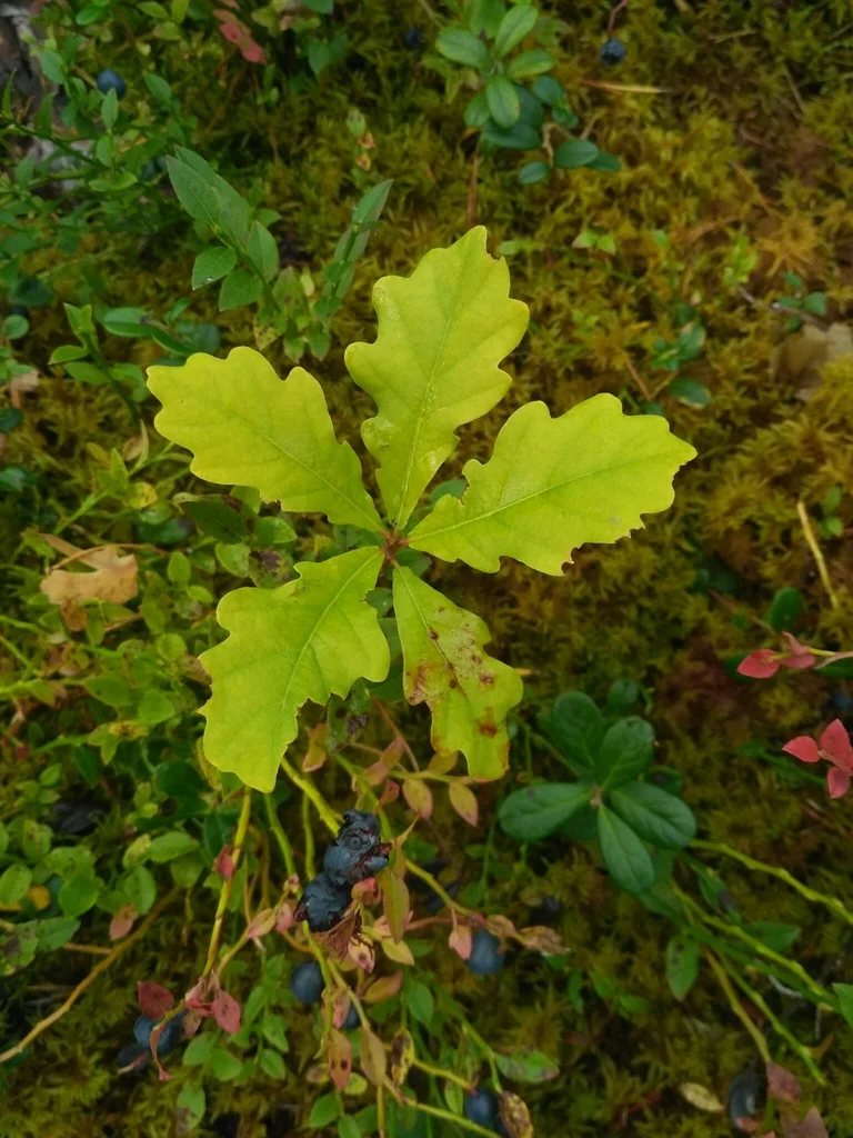
A record of its presence.
Discover where people have documented this species.
Put discovery on the map.
Load the map to request GBIF basemap tiles and public biodiversity records.
Map data represents recorded observations and occurrences, not necessarily the complete natural range of a species. Sensitive or obscured coordinates are excluded from individual markers.